


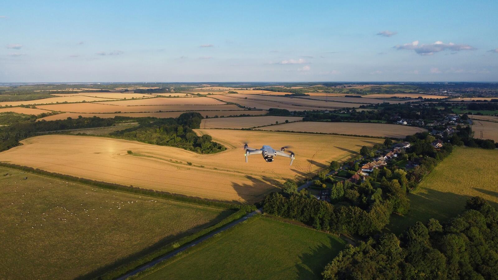
Checking a crop properly means walking it, and walking a field of any real size takes time when you’re looking for one patch of leaves that has turned an unusual shade of green. Add irrigation checks and crop treatments; a farmer would then spend hours travelling across their land before getting to the jobs that need doing.
Agricultural drones give farmers another way to check their fields, collect detailed images and apply certain treatments from above. Automated flight paths, cameras and mapping software work together to help farmers spot areas that need attention, saving time spent searching for problems across large areas of land.
How Agricultural Drones Actually Work
Most mapping flights are planned before take-off. Flight control software lets an operator mark out the area, set the altitude and speed, and choose a flight pattern that covers the field. The drone follows that route using GPS, capturing images that software can stitch together into a map. According to the University of Delaware, these maps can help farmers identify differences in vegetation across a field.
The type of drone affects what it can do: fixed-wing models can stay airborne for longer and suit larger areas, while rotary-wing drones can hover and take off vertically, which makes them better for closer inspections. Cameras also vary, with standard models capturing colour images and multispectral or thermal sensors collecting information about crop health and temperature.
More from Tech
- F1’s Pitlane Has Its Own Race, And Technology Is Driving It
- Top Deep-Tech Startups In Finland To Watch In 2027
- Are VoIP Calls Secure? Let’s Talk About Who Could Be Listening
- The Tech That Shapes F1 Car Performance From Circuit to Circuit
- From Alton Towers To Thorpe Park: The Technology Bringing Theme Parks To Life
- Women In Tech: Top 10 Women In EdTech In 2026
- Why Is It So Hard To Put Tech Down? The Design Choices Behind Our Attention
- Can A Trading App Truly Be Risk-Free When Real Financial Habits Are On The Line?
Spotting Trouble Before The Crop Starts Complaining
A crop can show signs of stress before the problem is even seen from the ground. Multispectral cameras measure light across several bands, including near-infrared, which people can’t see. Healthy vegetation generally reflects more near-infrared light and absorbs more red light than stressed vegetation. According to the University of Delaware, software can compare these readings to produce maps such as the Normalised Difference Vegetation Index (NDVI), that highlights differences in plant cover and condition.
Thermal cameras measure heat and can help identify plants experiencing water stress, which may become warmer as they lose less water through transpiration. Wind, sunlight and air temperature can affect these readings, however, so the images need to be interpreted carefully.
These maps help farmers narrow down where to look, but they don’t diagnose a crop problem on their own. A patch with unusual readings could be affected by water stress, disease or herbicide damage, so someone still needs to inspect the area.
Spraying From The Sky Without The Tractor Traffic
Some agricultural drones are designed for spraying rather than mapping. They carry tanks and spray equipment, following planned routes to apply products across a field. DC Geomatics, a South African drone technology company offering agricultural mapping and spraying services, is an example of a business helping farmers use drones for these jobs.
Spraying from the air can be super helpful when ground machinery struggles to reach certain areas, when fields have awkward shapes or when driving through a crop could damage plants or compact wet soil.
However; spraying drones have payload and battery constraints, so larger jobs can involve repeated landings to refill tanks and change batteries. Their coverage rate also varies with the equipment and conditions, meaning they won’t always be faster or cheaper than a tractor or conventional aerial spraying.
What Farmers Do With All Those Pictures
Aerial images can reveal uneven crop growth, areas that may need irrigation checks, weed patches or damage after severe weather. Instead of inspecting every row, a farmer can use the map to identify a smaller area that needs a closer look.
According to the University of Maryland, agricultural drones can also support crop monitoring, irrigation management, weed detection and nutrient stress assessment. Comparing images over time helps farmers see how specific areas are developing and decide whether they maybe need further inspection or treatment.
Reading the images takes quite a bit knowledge of crop health so farmers who don’t have the equipment or experience to analyse the data should probably hire a specialist to collect these images and prepare maps they can use.
A Faster Way To Know Where To Look
Drones won’t tell a farmer exactly what’s wrong with a crop, but they can definitely narrow a whole field down to the patches that need attention. Someone still has to get out of the truck and work out why that corner has turned red, but now they can head straight there instead of spending half the morning looking for it.