

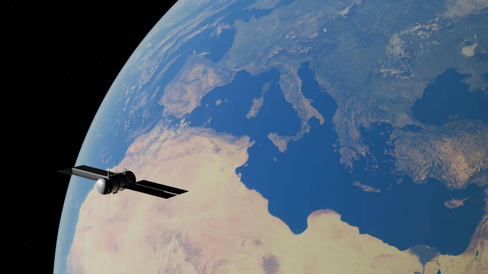
Satellites have the best seat in the house, looking down on fields, floodplains and infrastructure from hundreds of kilometres above the ground. The images and measurements they collect can help businesses monitor farmland, assess flood damage and spot activity near pipelines, including across areas that are difficult to inspect regularly.
This is known as Earth observation, where different sensors measure things such as vegetation health, surface changes and ground movement. Businesses can use that information to plan irrigation, assess potential damage or monitor infrastructure without relying entirely on physical inspections. The data gives them a view of what’s happening across a much wider area, even when visiting every site isn’t practical.
Satellites Do More Than Take Pictures
Earth-observation satellites carry sensors that record the planet in ways a phone camera never could. According to NASA, chlorophyll in plant leaves absorbs much of the visible red and blue light, while leaves reflect near-infrared radiation that human eyes can’t see. Satellite sensors can measure these differences, helping scientists calculate vegetation indices that show variations in plant growth and condition. These readings can reveal where vegetation may be struggling, although they don’t identify the cause on their own.
Radar satellites work differently. The European Space Agency says the radar on its Sentinel-1 satellites can collect data through clouds and in darkness. Software can then turn these observations into maps, measurements and alerts that help companies monitor huge or remote areas without sending someone to inspect every corner.
More from Tech
- Why FinOps Alone Cannot Control Modern Data Platform Costs
- How Technology Is Used To Engineer Faster Running Shoes
- Top Maritime, Ocean And Aquaculture Tech Startups In Norway To Watch In 2027
- One Crash, Millions At Stake: The Technology Behind F1’s Costliest Mistakes
- How Can Antivirus Software Guard Against Identity Theft?
- 8 Everyday Tech Inventions Originally Designed For Disabled People
- What Is Multisensory Learning, And How Is Edtech Using It?
- Flying Cars Are Now A Reality, But Is There Really A Market For Them?
Farms, Floods And Pipelines: Who Is Actually Using This?
A farmer wondering which corner of a field is sulking can get a hint without walking the whole thing. FarmQA offers near-daily satellite imagery from Planet to help agronomists spot differences across fields and decide where to send scouts. Manna Irrigation uses satellite imagery, weather data and modelling to provide irrigation recommendations. Neither can explain every problem from above, so someone still needs to check whether pests, water stress or something else is behind a struggling patch.
After a flood, insurers face a huge area to assess, often with places nobody can reach quickly. Finnish firm ICEYE uses radar satellite data to estimate flood extent, depth and duration, including at building level. Its flood intelligence can be available within hours of a flood peak, even through cloud or in darkness. This information can help insurers prioritise assessments and estimate potential losses, although individual claims still need to be assessed.
Engineering firm Stantec uses high-resolution imagery from Airbus’s Pleiades satellite range in its PipeWATCH service to identify unauthorised activity along pipeline corridors, including farming and nearby construction. Spotting potential encroachment helps operators decide where an inspection may be needed before activity creates a safety risk.
Nobody Wants A Pile Of Pixels
A satellite image on its own is a bit like a filing cabinet with no labels. Someone needs to process it, compare it with earlier images and work out what has changed. That’s where software and analysis come in, turning raw observations into maps, measurements and alerts that businesses can actually use. Looking at the same area repeatedly can reveal changes over time, whether floodwaters are spreading or infrastructure is showing signs of change.
How often satellites return to the same area depends on the system being used. The Sentinel-1 constellation has a nominal six-day repeat cycle, while FarmQA offers near-daily Planet imagery and Sentinel-2 has a typical five-day revisit interval with its two-satellite constellation. Cloud cover and other conditions can still limit which images are useful.
Businesses don’t necessarily need to own satellites or build their own analysis tools to use this data. Copernicus Sentinel imagery is freely available, while companies such as FarmQA offer platforms that bring satellite observations together with tools for monitoring fields. The level of detail varies between sources, too. Planet imagery offers resolution of around three metres, compared with 10 metres for Sentinel-2, making each suited to different monitoring needs.
What Satellites Can’t See (Or Explain)
Clouds are a classic spoilsport. Optical satellites measure sunlight reflected from the ground, so thick cloud can obscure the view. Radar can collect observations through cloud and in darkness, but it measures different properties from optical sensors. The two can complement each other rather than one simply replacing the other. Planet’s Crop Biomass product, for example, combines radar and optical data to produce daily estimates of crop biomass, even when cloud cover limits the available optical observations.
Satellite data can give businesses a much better view of what’s happening across a large area, but it can’t explain every change on its own. A patch of struggling crops, for example, could point to water stress, pests or another issue entirely. The imagery helps narrow down where to look, while on-the-ground checks and local knowledge can help work out what’s actually going on.
Satellites Can Point At The Problem; Someone Still Has To Get To It
The satellite might be hundreds of kilometres above the ground, but its data can end up influencing decisions about a field, an insurance claim or a pipeline inspection. Nobody needs to spend their day thinking about orbital paths to make use of it; they just need the right information to land on their desk before the problem becomes a much bigger one.