


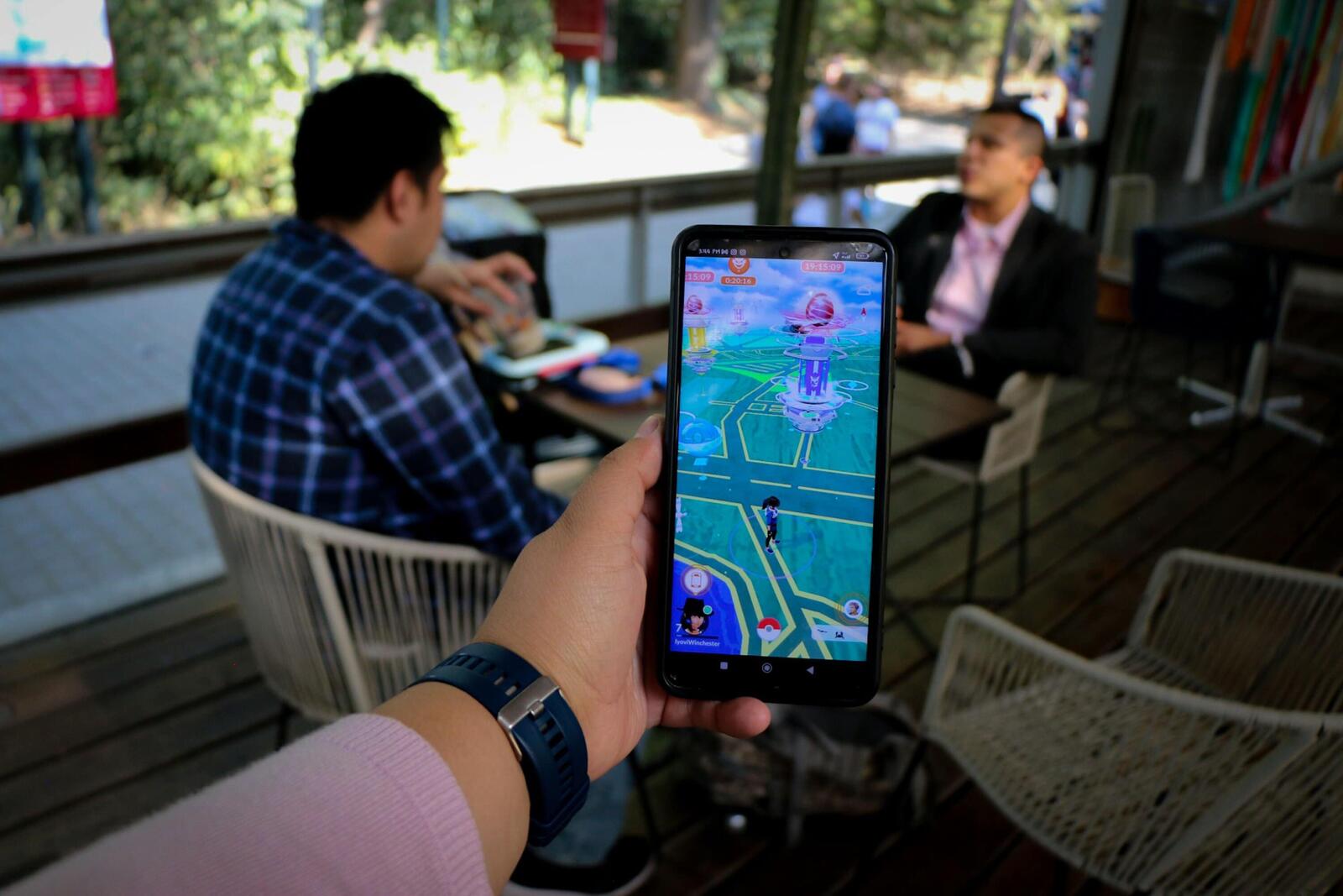
Remember the summer of 2016? Teenagers were wandering around parks, streets and shopping centres, phones held out in front of them, hoping to find a rare Pokémon. Pokémon Go had people exploring places they might otherwise have walked straight past, all in the name of catching them all.
Nearly a decade later, some of those walks have a quite unexpected second life. Niantic, the company that created the game, used images voluntarily submitted by players to help develop technology that allows machines to understand where they are in the real world. Now, that technology is being used to help delivery robots find their way around busy city streets.
What Those Pokémon Walks Left Behind
Pokémon Go launched in 2016, developed by Niantic, which was incubated within Google before becoming an independent company in 2015. The game encouraged players to visit real-world locations, with landmarks and public spaces appearing as PokéStops and Gyms.
Niantic later introduced an optional augmented reality scanning feature. Players could visit certain public locations, record a short video of the surroundings and upload it in exchange for in-game rewards. These scans helped the company build a detailed map of the physical world.
Simply playing Pokémon Go or walking around with the app open didn’t train an AI model. Players had to actively choose to scan a location and submit the recording.
The scans gave Niantic more than just pictures of statues, buildings and public art. They also recorded information about where the phone was positioned and which direction it was facing. Collect enough images of the same place from different angles and you start to build a much more detailed picture of what that location actually looks like.
In November 2024, Niantic said it had collected scans of more than 10 million locations, with over one million activated for its Visual Positioning System (VPS). It was also receiving around one million new scans every week at the time, each containing hundreds of individual images.
More from Tech
- The Paradox Of Progress: Is Our Pursuit Of Technological Efficiency Making The World More Vulnerable?
- COP31 Wants Electricity To Power 35% Of Global Energy Use By 2035 – What Needs To Change
- Is F1 Going Backwards To Move Forwards? The Technology Behind Its Proposed V8 Return
- Your Next Building Could Store Electricity In Its Concrete
- How Technology Is Making Used Car Buying Safer
- What Is TLS Fingerprinting?
- Could Virtual Shopping Rooms Replace The Traditional Black Friday Rush?
- Top Creative And Immersive Tech Startups In India To Watch In 2027
Why Robots Can’t Just Ask A Satellite
GPS is great when you’re driving along an open road, but it isn’t always so reliable between tall buildings. Satellite signals can bounce off buildings before reaching a phone or device, making it harder to work out its exact position. Anyone who’s watched their blue location dot jump to the wrong side of a street in a city will know the frustration.
For a delivery robot, that sort of error is a much bigger problem. Being a few metres out could mean arriving at the wrong entrance, missing a collection point or struggling to work out which side of the pavement it should be on.
Niantic Spatial’s VPS offers another way to establish a location. Rather than relying entirely on satellite signals, it takes an image from a camera and compares it with visual information stored in a detailed map. By matching what the camera can see with what the system already knows about the surroundings, it can estimate the device’s position and orientation.
Niantic says its original VPS can achieve near-centimetre-level accuracy in mapped locations. Its later VPS 2.0 release can also provide a reliable position and heading in places that haven’t been scanned, although centimetre-level precision still depends on an area having been mapped.
From Hunting Pikachu To Delivering Your Dinner
In March 2026, Niantic Spatial announced a partnership with Coco Robotics, a company that operates small delivery robots in cities including Los Angeles, Chicago, Jersey City, Miami and Helsinki.
Coco says it operates around 1000 robots across the US and Europe and has completed more than 500 000 deliveries. The robots are being equipped with Niantic Spatial’s VPS to improve their positioning in places where GPS struggles.
The partnership brings together two rather different uses of the same technology. Niantic spent years working out how to place digital Pokémon accurately in real-world environments. Coco needs its robots to understand those same environments well enough to collect and deliver orders without getting lost.
As Niantic Spatial CEO John Hanke explained to MIT Technology Review, getting Pikachu to run around realistically and getting Coco’s robots to move safely and accurately through the world is “the same problem”.
Coco is Niantic Spatial’s first announced robotics partner. The two companies are working together to improve navigation precision in complex urban environments, particularly around collection points and places where GPS signals can be unreliable.
Teaching Machines What A Place Looks Like
The technology behind this is part of what Niantic calls a Large Geospatial Model, or LGM. The idea takes some inspiration from large language models, which learn patterns in language from enormous collections of text. Instead of learning how words and sentences fit together, a geospatial model is designed to learn how physical places look and relate to one another.
Niantic’s model draws on images and scans collected through its games and the Scaniverse app. The company wants it to recognise places from different viewpoints, understand what is around it and work out where it is even when it hasn’t seen that exact camera angle before.
That could be useful well beyond food deliveries. Robots used in warehouses, construction and other industries also need to understand their surroundings, while autonomous vehicles face many of the same positioning challenges. Niantic has also said its VPS technology can work with different sources of 2D and 3D data, allowing it to provide broad positioning coverage in locations that haven’t been mapped in advance.
Who Owns All Those Pokémon Walks?
The scans weren’t collected from every person who played Pokémon Go. Players had to use the specific scanning feature, visit a supported public location and choose to upload a recording.
Niantic’s scanning feature was introduced as part of its augmented reality experiences, with players offered in-game rewards for contributing. Its November 2024 explanation of the Large Geospatial Model also stated that ordinary gameplay did not train the AI system.
The ownership of the game changed in May 2025, when Scopely completed its acquisition of Niantic’s games business, including Pokémon Go. Niantic Spatial continued as a separate technology business, while the game and its data-sharing arrangements moved to Scopely
.
Following the move, Pokémon Go’s AR scanning feature was discontinued and new game data stopped being shared with Niantic Spatial. The company confirmed in June 2026 that it no longer receives Pokémon Go data. Niantic Spatial has said that ground scans were one component used to train its real-world AI models.
Pokémon Go wasn’t the only source of information either. Niantic’s earlier game Ingress and its Scaniverse app have also contributed scans, giving the company more ways to build up its understanding of real-world locations.
A Different Kind Of Pokémon Go Legacy
Pokémon Go was designed to get people outside and make exploring familiar places a little more exciting. Along the way, some players also helped create a huge collection of street-level images that could be used for something far removed from catching Pokémon.
Now, technology developed using some of those images is helping delivery robots navigate the same kinds of streets and public spaces that players once crossed in search of a Pikachu.
Somewhere, a robot could be finding its way to a front door thanks to a landmark a Pokémon Go player scanned years ago. Squirtle probably didn’t see that one coming.