


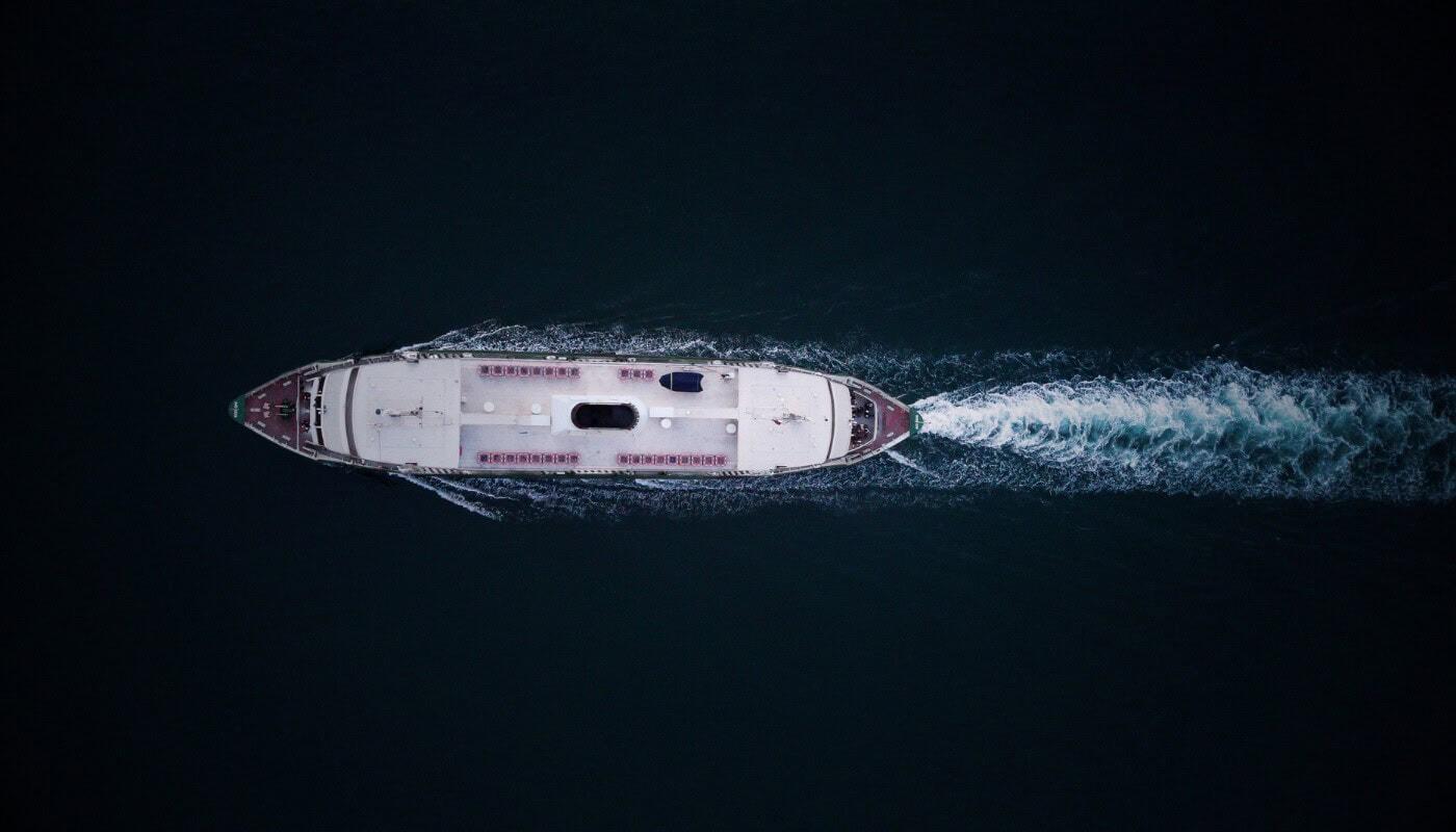
Think of a ship’s tracking signal as a digital name tag: it works well when everyone is playing by the rules. If crew members turn off the signal, tamper with the location or lose power, the vessel vanishes from the tracking screens that most of global shipping relies on.
That phenomenon is what French startup Unseenlabs says it caught in the Strait of Hormuz. According to a case study it published on 28 October, its radio-frequency satellite data showed the share of detections with no matching tracking position jumping from about 1.8% to 12% between 7 and 8 March 2026, as the regional conflict took hold. It’s also a prime example of defence tech moving upwards, quite literally.
The more interesting question is how a satellite spots a ship that isn’t telling anyone where it is.
When A Ship Goes Quiet
Most large commercial ships have an Automatic Identification System, or AIS. The hardware broadcasts important details including the vessel’s identity, position, speed and course to nearby ships, coastal stations and satellite arrays, keeping craft safely clear of each other.
The catch is that AIS is cooperative, so it only works if the ship keeps it switched on and sends accurate information. Operators can turn it off, give it false data or lose it to equipment failure and patchy reception, and in a conflict zone those blind spots can hide movement, ship-to-ship transfers or vessels operating near sensitive infrastructure. That’s why “no AIS signal” doesn’t mean “no ship”, only that the self-reported picture is incomplete.
More from Tech
- Women In Tech: Top 8 Women In Biotech In 2026
- The F1 Technology Gold Rush: The Growing Value Of Motorsport Partnerships
- Designed for Every Mind, Or Just the Average User? How Technology Is Rethinking Cognitive Accessibility
- Top Agtech Startups In Ireland To Watch In 2027
- The Convenience Paradox: Is Technology Giving Us Time Back?
- The Supersonic Comeback: Can Modern Aviation Solve Concorde’s Biggest Problems?
- Are We Taking Noise Cancellation Too Far? Why Open-Ear Audio Technology Offers An Alternative
- Apple’s First Foldable Is Cracking For Some Owners – What Does It Show About Launching New Hardware To Stay Competitive?
So, How Does A Satellite Listen To A Ship?
Radio-frequency (RF) satellites skip the polite request. Instead of waiting for a ship to identify itself, they pick up the radio emissions a vessel gives off anyway, from communications gear, navigation systems, radar and other onboard electronics.
According to the European Space Agency, each Unseenlabs satellite can sweep a footprint of up to 300,000 square kilometres and locate an emitter to within about one kilometre. In short, the tech works out position by comparing when different receivers hear the same transmission, similar to triangulating noise across several room mics.
The technology essentially creates a second paper trail. There’s the ship’s official account of where it claims to be on one side, and raw physical evidence of its electronic emissions on the other. It’s where those two narratives diverge that things get interesting.
RF detection isn’t a replacement for AIS, though. A satellite picks up an emitter rather than a name tag, so working out which ship it was usually means cross-referencing AIS, radar or optical imagery, and a vessel that stays completely silent leaves very little to hear.
Why Busy, Contested Waters Are The Real Test
Hormuz makes a good stress test because it’s both busy and contested. According to the case study, escalating conflict in late February 2026 brought a wave of vessel attacks, transit restrictions and altered routes. Reported shipping traffic fell, but the company’s argument is that those numbers didn’t tell the full story of what was happening on the water.
With three to four RF collections a day over the area, the company compared what it heard against AIS positions. A later snapshot on 31 March put unmatched emitters at 9.13% of observed activity, with many clustered off the UAE coast near mapped subsea telecoms cable corridors.
The company was careful to point out that satellite signals alone don’t show intent or connect any particular ship to infrastructure damage. What the technology offers is a spotlight on where to look, which should caution anyone tempted to over-interpret a solitary dot on a map.
Trust, But Verify From Orbit
The shift is from trusting ships to report themselves towards building an independent picture of what’s at sea. For governments, insurers and defence agencies, that means being able to flag a vessel that has gone dark and decide where to point radar, optical satellites or patrol assets.
As more of the world’s shipping lanes become contested, expect the question to change from ‘where does this ship say it is?’ to ‘does what we can hear match what it’s telling us?’